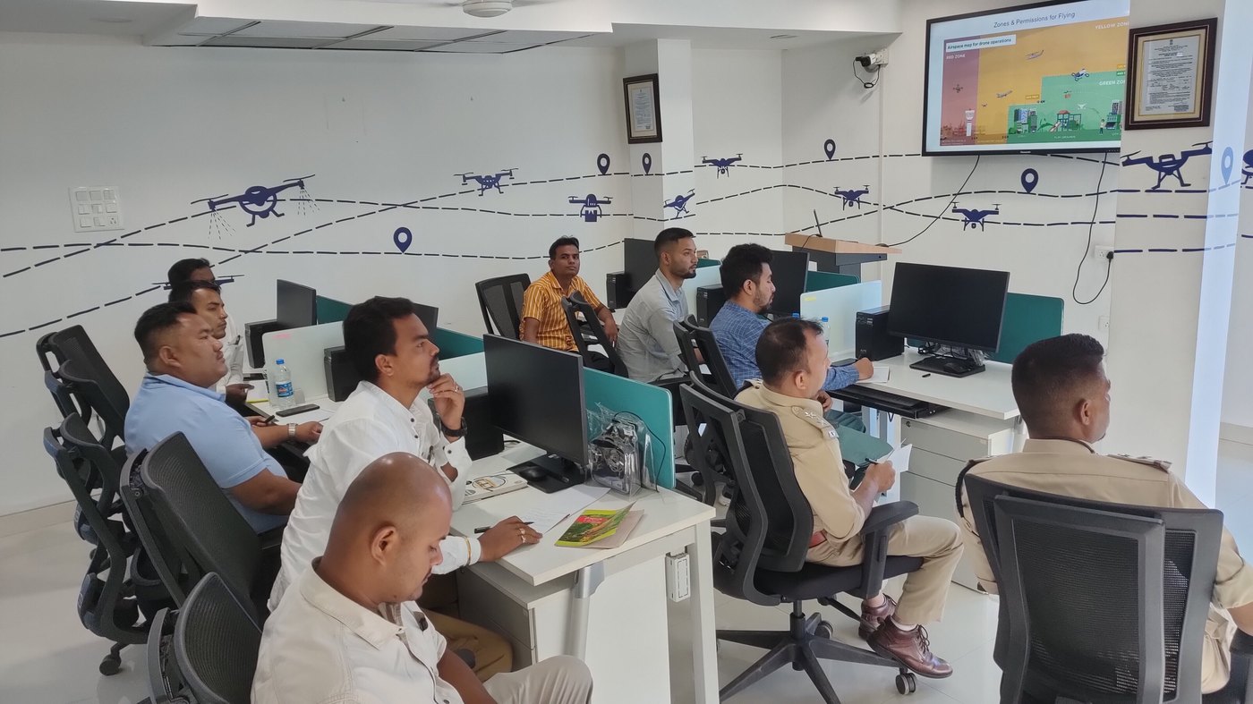
Detect crops, defects and objects in drone imagery using machine learning tools.
Thousands of images are too many to check by eye. This course shows how to label data, train and test simple models, and use the results for counting, detection and change tracking in agriculture, inspection and mapping.
| Format | Computer lab and projects |
| Languages | English |
| Certificate | IDA certificate: Drone AI and Analytics |
| Fees | On request. Contact admissions for the current fee and batch dates. |
IDA certificate: Drone AI and Analytics. Certificates are issued by International Drone Academy, part of World Skill University and powered by AIESF and WSSH Australia. Where a regulator licence or permission is also required, IDA explains the steps at enrolment.
You will learn the basics of Python in the first week.
Batch dates and academy locations change through the year. Send an enquiry and admissions will share the next start dates for your city.
Use the enquiry form on this page, or email admin@internationaldroneacademy.org.

Use open and commercial GIS tools to manage, analyse and present drone data.
Explore

Choose, mount and use the right sensor for mapping, agriculture, inspection and safety work.
Explore

Configure and tune open-source and commercial flight controllers, missions and failsafes.
Explore