Choose, mount and use the right sensor for mapping, agriculture, inspection and safety work.
The sensor decides the job. This course compares RGB, zoom, thermal, multispectral, LiDAR and gas sensors, shows how to mount and trigger them and how to check the data they produce.
| Format | Lab and field |
| Languages | English |
| Certificate | IDA certificate: Payloads and Sensors |
| Fees | On request. Contact admissions for the current fee and batch dates. |
IDA certificate: Payloads and Sensors. Certificates are issued by International Drone Academy, part of World Skill University and powered by AIESF and WSSH Australia. Where a regulator licence or permission is also required, IDA explains the steps at enrolment.
Where the academy has a LiDAR unit; otherwise the course uses sample datasets.
Batch dates and academy locations change through the year. Send an enquiry and admissions will share the next start dates for your city.
Use the enquiry form on this page, or email admin@internationaldroneacademy.org.

Advanced mapping: RTK/PPK, multispectral, LiDAR concepts, accuracy reports and 3D reconstruction.
Explore
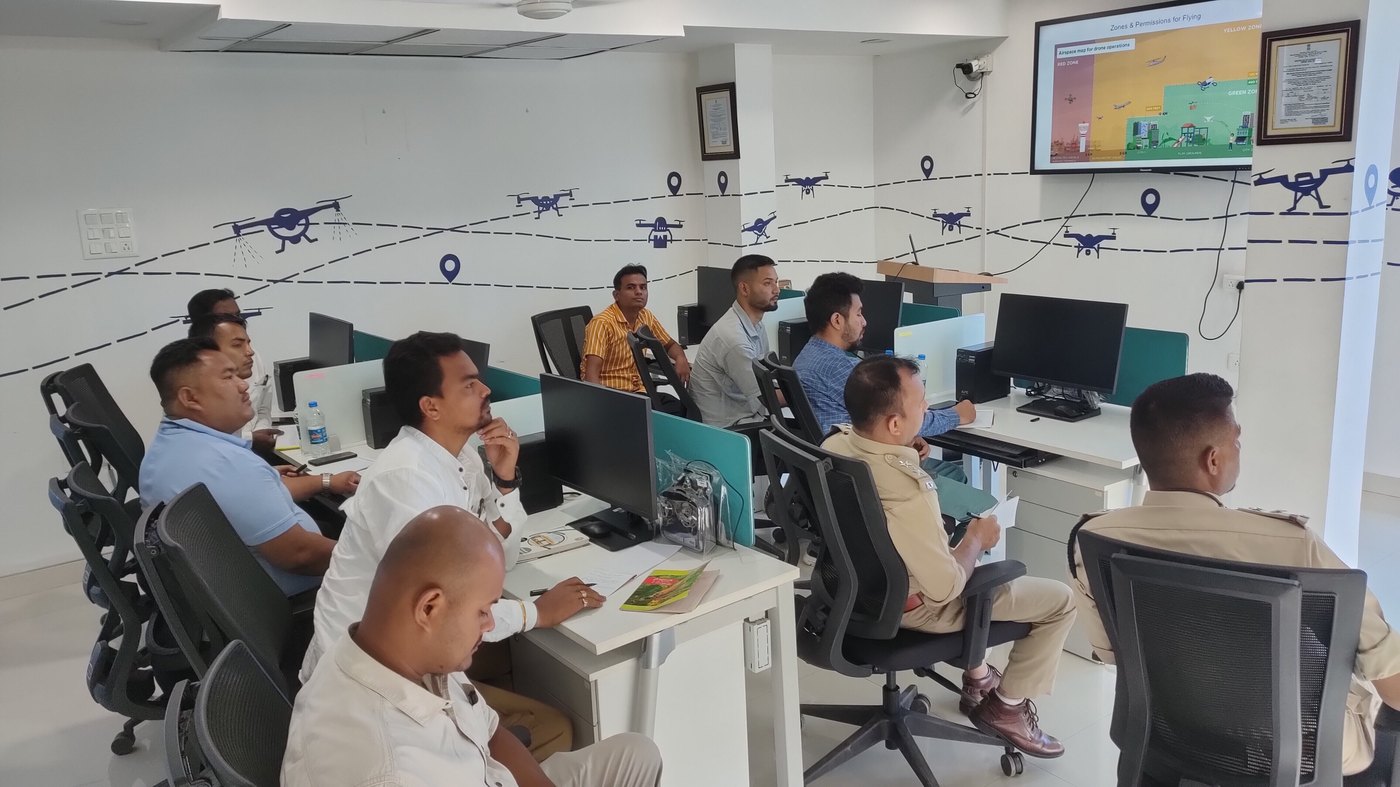
Use open and commercial GIS tools to manage, analyse and present drone data.
Explore
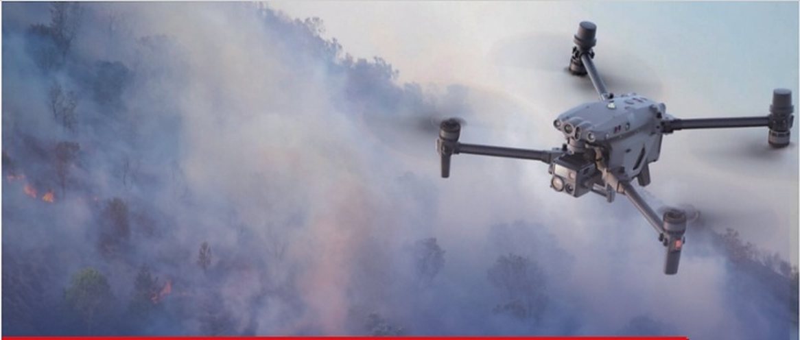
Aerial thermal imaging for solar farms, buildings, substations and industry.
Explore